
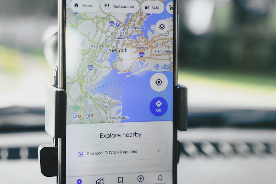
Google Maps Enhances Tunnel Navigation with Advanced Technology
The ubiquitous nature of smartphone navigation has made it an indispensable tool for modern drivers. However, a persistent challenge in GPS technology has been the degradation or complete loss of satellite signals within enclosed environments, most notably tunnels. This limitation has often resulted in frustrating navigation lapses, with drivers suddenly finding themselves off-course or with a blank screen. Recognizing this critical user pain point, Google Maps has been making significant strides in developing and implementing advanced technological solutions to ensure a seamless and reliable navigation experience, even when underground. This article delves into the sophisticated methods Google Maps employs to overcome the challenges of tunnel navigation, focusing on the underlying technologies and their impact on user experience.
The fundamental issue with traditional GPS in tunnels stems from its reliance on signals transmitted from orbiting satellites. These signals, operating at specific frequencies, are easily blocked by the dense construction materials that make up tunnels, such as concrete, steel, and rebar. Without a clear line of sight to multiple satellites, a GPS receiver cannot triangulate its position accurately, leading to the aforementioned navigation blackouts. Early navigation systems often compensated for this by relying on inertial navigation systems (INS) which use accelerometers and gyroscopes to estimate movement based on a last known position. While effective to a degree, INS systems are prone to drift over time, meaning their accuracy degrades without periodic GPS corrections. This drift could lead to significant positional errors by the time a vehicle exits a tunnel.
Google Maps tackles the tunnel navigation problem through a multi-pronged approach that leverages a combination of advanced sensor data, crowdsourced information, and sophisticated algorithms. One of the primary technologies utilized is sensor fusion. This involves combining data from various sensors available on a smartphone to create a more robust and accurate picture of the device’s location and movement. Beyond the standard GPS receiver, smartphones are equipped with accelerometers, gyroscopes, magnetometers (compass), and barometers. By fusing the data from these sensors with the intermittent GPS signals received before and after a tunnel, Google Maps can more effectively predict and track a device’s trajectory while underground. For instance, the accelerometer can measure acceleration and deceleration, while the gyroscope measures rotation. This data, when fed into algorithms, can estimate the distance traveled and the changes in direction even without satellite input. The magnetometer can help maintain orientation, and the barometer can detect changes in elevation, which can be particularly useful in multi-level tunnel systems.
Another crucial element in Google Maps’ enhanced tunnel navigation is the extensive use of crowdsourced data. Millions of Google Maps users contribute valuable information passively and actively. When a user navigates through a tunnel with their GPS enabled, even if it momentarily drops, their device’s sensors continue to collect motion data. This anonymized data, when aggregated across a vast number of users, provides Google with a comprehensive understanding of common routes, speeds, and traffic patterns within tunnels. This collective intelligence allows Google to build detailed models of tunnel layouts and predict likely paths. Furthermore, some users may manually report issues or provide feedback, contributing to the refinement of these models. This real-time, community-driven data is invaluable for identifying and correcting inaccuracies that might arise from individual device sensor limitations or inconsistencies.
Wi-Fi and cellular triangulation also play a significant role, especially in urban areas where tunnels are often located. While Wi-Fi signals and cellular tower pings are not as precise as GPS, they can still provide a general location fix. Google Maps can utilize known Wi-Fi access points and the location of nearby cell towers to estimate a device’s position when GPS is unavailable. This is particularly effective in tunnels that are near areas with dense Wi-Fi coverage or cellular infrastructure. The system can identify patterns of Wi-Fi signal strength and cellular tower proximity that correlate with specific locations within a tunnel. By analyzing these signals, Google can infer the vehicle’s position with a reasonable degree of accuracy, bridging the gap left by the absence of satellite signals.
Pre-downloaded map data and offline capabilities contribute significantly to the robustness of tunnel navigation. Users can download maps for specific regions, including detailed road networks and tunnel structures, for offline use. This means that even if a device loses all connectivity (GPS, Wi-Fi, and cellular), Google Maps can still display the road ahead and provide turn-by-turn instructions based on the pre-loaded map data and the fused sensor input. This offline functionality ensures that drivers are not left stranded with no navigation information. The detailed map data includes not only the basic road layout but also information about lane configurations, tunnel entrances and exits, and even speed limits within the tunnel, all of which are crucial for safe and accurate navigation.
Google Maps also employs machine learning and artificial intelligence (AI) to continuously improve its tunnel navigation algorithms. By analyzing vast datasets of driving behavior, sensor readings, and map information, AI models can learn to predict a vehicle’s path with remarkable accuracy. These models can identify subtle patterns in sensor data that correlate with specific tunnel environments and driving conditions. For example, the AI can learn to distinguish between different types of tunnels based on the characteristics of sensor readings, such as changes in light (if the camera is utilized in future iterations or for visual odometry), air pressure (barometer), and motion. The system can also adapt to varying traffic conditions and driver behaviors, refining its predictions over time. This adaptive learning approach is key to maintaining high accuracy in a dynamic and complex environment.
The process of navigating through a tunnel with enhanced Google Maps can be visualized as follows: As a vehicle approaches a tunnel, Google Maps uses the last available GPS fix and begins to leverage its fused sensor data. The inertial sensors (accelerometer, gyroscope) track the vehicle’s movement and orientation. Simultaneously, Wi-Fi and cellular triangulation (if available) provide supplementary location information. Crowdsourced data, which has learned the typical path through that specific tunnel, informs the prediction model. If the user has pre-downloaded the map, the detailed tunnel geometry is readily accessible. As the vehicle enters the tunnel, GPS signals weaken and disappear. The system relies heavily on the fused sensor data and the AI-powered predictive model, guided by the offline map and crowdsourced insights. It continuously estimates the vehicle’s position and projects it onto the tunnel’s road network. As the vehicle exits the tunnel and GPS signals become available again, the system uses this new fix to recalibrate and correct any accumulated drift, ensuring a seamless transition back to satellite-based navigation.
The implementation of these technologies has a direct and significant impact on user experience. Drivers no longer face the anxiety of losing navigation midway through a tunnel. The experience is smoother and more reliable, reducing the likelihood of missed turns or unexpected deviations from the planned route. This improved accuracy contributes to safer driving by allowing drivers to focus on the road rather than worrying about their navigation system’s performance. For ride-sharing drivers and delivery personnel, consistent and reliable navigation is paramount for efficiency and customer satisfaction, and enhanced tunnel navigation directly supports these operational needs.
Furthermore, Google Maps’ commitment to improving tunnel navigation extends to various geographical locations and tunnel types. This includes not only long, multi-lane highway tunnels but also shorter urban underpasses and even complex underground road networks. The adaptability of the technology ensures its broad applicability. The continuous refinement of algorithms and the ongoing collection of crowdsourced data mean that the system is constantly learning and improving. This iterative process allows Google to address new challenges and enhance accuracy in existing environments.
The technological advancements in Google Maps’ tunnel navigation are a testament to the power of sensor fusion, crowdsourced intelligence, and artificial intelligence. By intelligently combining data from multiple sources and employing sophisticated algorithms, Google is effectively bridging the gap left by traditional GPS limitations. This not only enhances the driving experience but also contributes to safer and more efficient travel for millions of users worldwide. The ongoing evolution of these technologies promises even more robust and reliable navigation solutions in the future, pushing the boundaries of what is possible with mobile navigation. The focus remains on providing a seamless and uninterrupted navigation experience, regardless of the environmental challenges encountered on the road. This dedication to user-centric innovation solidifies Google Maps’ position as a leader in the navigation technology landscape.





Leave a Reply