
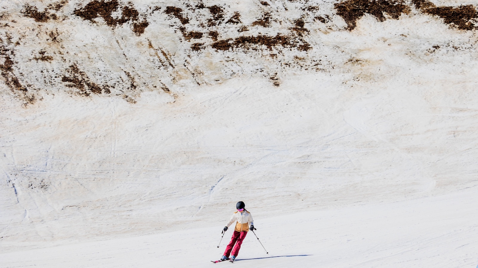
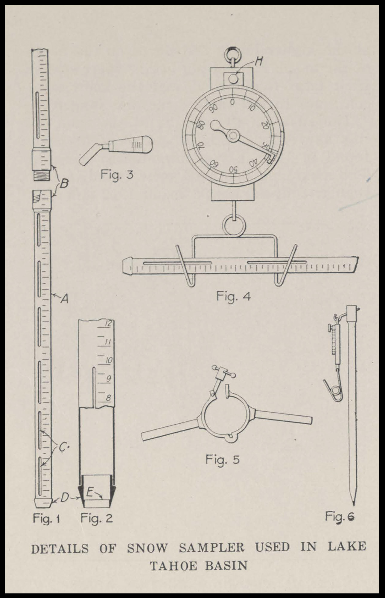
On a frigid morning in the Cascade Mountains of Washington State, Toby Rodgers, a hydrologist with the U.S. Department of Agriculture’s Natural Resources Conservation Service (NRCS), moved methodically across a vast, white alpine meadow. Strapped into snowshoes to navigate the deep drifts, Rodgers carried a tool that appeared strikingly anachronistic against the backdrop of modern satellite-monitored meteorology: a long, hollow aluminum tube tipped with a sharp, serrated steel bit. This device, known as the Church Sampler, remains the cornerstone of water management in the American West, providing the ground-truth data necessary to predict summer droughts and manage the lifeblood of the region’s multi-billion dollar agricultural and energy sectors.
Upon reaching a predetermined sampling point, Rodgers drove the tube through the snow layers until it struck the frozen earth beneath. After extracting a vertical core of snow, he cleared the debris from the tip and suspended the tube from a portable spring scale. This process, repeated thousands of times every winter across the Western United States, allows scientists to calculate the Snow Water Equivalent (SWE)—a measurement of how much liquid water is contained within a specific volume of snow. Whether the snow is light and airy or dense and icy, the weight provides a definitive forecast of the volume of water that will eventually flow into the rivers, lakes, and reservoirs downstream once the spring thaw begins.

The Genesis of Snow Science: A Legacy of the Sierra Nevada
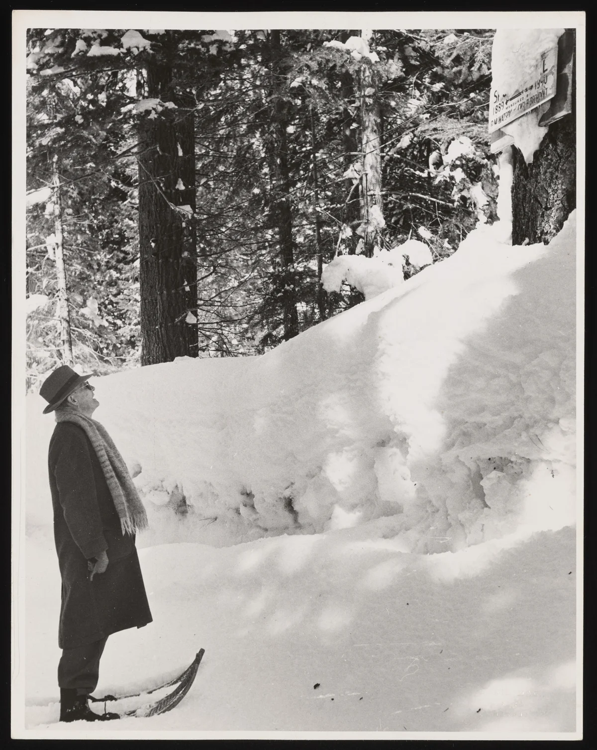
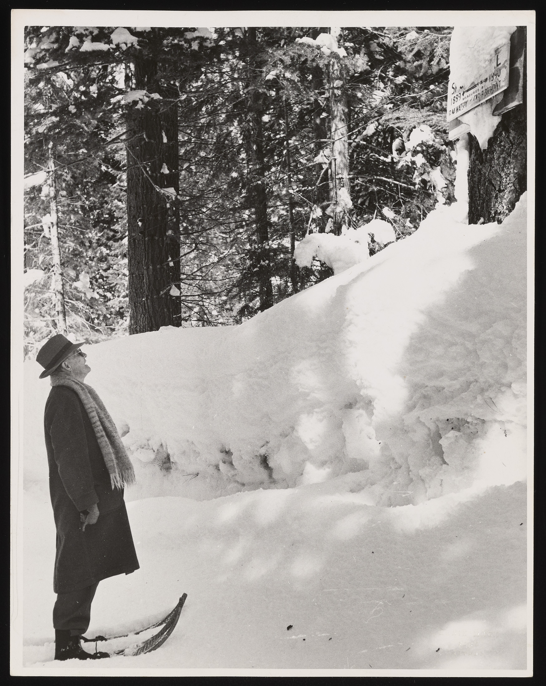
The Church Sampler is named after its inventor, James Edward Church, a man whose background was as unlikely as the device’s longevity. A professor of Latin and Greek at the University of Nevada, Reno, in the early 1900s, Church was an avid mountaineer who spent his winters exploring the rugged peaks of the Sierra Nevada. His intellectual curiosity led him to consider the relationship between the mountain snowpack and the water levels of Lake Tahoe, which was then, as now, a source of tension between downstream farmers, power companies, and conservationists.
During the early 20th century, Reno and the surrounding Truckee Meadows were experiencing a surge in industrial and agricultural growth. However, water management was largely a matter of guesswork. Church realized that by measuring the depth and density of snow in the high country during the winter, he could provide a statistical basis for predicting the summer runoff. In 1906, he established the first snow survey course on Mount Rose. He spent years refining his "Mount Rose Sampler," creating a tool light enough to be carried by a single person on skis or snowshoes, yet durable enough to penetrate the thickest ice crusts.
Church’s methodology revolutionized the field. By weighing the snow rather than just measuring its depth, he accounted for the variability of snow density—a critical factor because "dry" snow and "wet" snow yield vastly different amounts of water. His work eventually caught the attention of state and federal authorities, leading to the creation of a standardized network of snow surveys that today spans the entire Western United States, from the Mexican border to the Canadian Rockies.
The Mechanics of the Snow Water Equivalent
The enduring utility of the Church Sampler lies in its simplicity and its accuracy. In the field of hydrology, depth is often a deceptive metric. Ten inches of fresh, cold powder might contain only one inch of water, whereas ten inches of "corn snow" in late April could contain five or six inches of water. For reservoir operators at the Bureau of Reclamation or managers of irrigation districts, the latter is far more significant for planning purposes.
When hydrologists like Rodgers use the sampler, they are performing a physical "ground-truthing" that satellites and automated sensors cannot always replicate. While the NRCS now maintains a sophisticated network of SNOTEL (Snow Telemetry) stations—automated sites that use pressure sensors to weigh snow—manual surveys remain essential. They are used to calibrate the automated sensors and provide data in remote wilderness areas where permanent structures are prohibited by law.
The data collected is fed into complex hydrologic models that inform everything from the pricing of hydroelectric power to the allocation of water for almond groves in California’s Central Valley and salmon restoration projects in the Pacific Northwest. In a region where water is often referred to as "liquid gold," the Church Sampler is the scale upon which that gold is weighed.
A System Under Stress: The Rise of the Snow Drought
Despite the reliability of the tools, the environment they measure is changing at a pace that is challenging the very foundations of snow science. The American West is currently grappling with a phenomenon known as "snow drought." This occurs when winter precipitation falls as rain rather than snow, or when unusually warm temperatures cause the snowpack to melt prematurely or evaporate directly into the atmosphere—a process known as sublimation.
The winter of 2025–2026 provided a stark example of this volatility. At Stevens Pass in Washington, where Rodgers conducted his sampling, the total precipitation for the season was near historical averages. However, the snowpack was significantly below normal. A series of "atmospheric river" events brought warm, tropical moisture to the Cascades, resulting in heavy rain at elevations that historically saw only snow.
This shift has catastrophic implications for infrastructure. In December 2025, a massive "rain-on-snow" event caused rapid melting of the existing snowpack, leading to unprecedented runoff that overwhelmed drainage systems and triggered a landslide that wiped out a significant section of Highway 2. The highway, a vital artery for commerce and tourism, remained closed for months, highlighting the vulnerability of mountain infrastructure to a changing climate.
Data Analysis: The 2026 Peak Snow Levels
The broader data for 2026 paints a grim picture for water security across the West. April 1st is traditionally considered the date of "peak snowpack," the point at which the mountains hold the maximum amount of water before the spring melt begins. In 2026, many basins reported figures that alarmed climatologists:
- California and the Southwest: Some monitoring sites reported snow levels as low as 17 percent of the 30-year median.
- The Upper Colorado River Basin: Vital for the water supply of 40 million people, the basin hovered at roughly 65 percent of normal, threatening to further deplete the already record-low levels of Lake Mead and Lake Powell.
- The Pacific Northwest: Despite high total precipitation, the SWE was consistently 20 to 30 percent below average due to warmer-than-normal temperatures.
A comprehensive review published in the journal Nature in 2021 warned that the West could lose up to 25 percent of its historical mountain snowpack over the next 25 years. This "de-snowing" of the mountains effectively removes the region’s largest natural reservoir. Historically, the snowpack acted as a slow-release mechanism, holding water in the high country until the heat of summer, when it was most needed for agriculture and cooling. Without it, water managers must rely on man-made dams that often lack the capacity to store the sudden, violent bursts of runoff that characterize rain-dominated winters.
The Future of Water Management and Policy
The crisis of the snow drought is forcing a re-evaluation of water policy across state lines. In the Colorado River Basin, the seven "basin states" are currently locked in intense negotiations over how to reduce consumption as the "bank account" of the snowpack continues to dwindle. The data provided by Rodgers and his colleagues is the primary evidence used in these high-stakes legal and political battles.
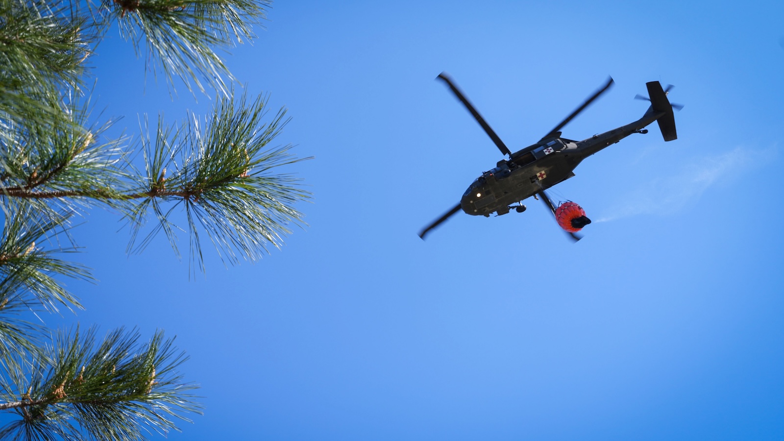
Furthermore, the lack of snowpack has a direct correlation with the severity of the wildfire season. When the snow melts early, the forests dry out sooner, extending the window of time in which a single spark can ignite a conflagration. Much of the West is already bracing for a summer of high fire risk, a direct consequence of the low April 1st SWE numbers recorded by the Church Sampler.
Despite the rise of LIDAR-equipped airplanes and sophisticated satellite arrays that can map snow depth from space, the manual snow survey remains an indispensable part of the scientific toolkit. There is an inherent reliability in the physical core of snow pulled from the ground. It provides a level of certainty that is increasingly rare in an era of climatic instability.
As Toby Rodgers finished his measurements and prepared to trek back to his vehicle, the importance of his work was clear. The simple aluminum tube, designed by a classics professor more than a century ago, continues to provide the most honest assessment of the challenges ahead. In a world where the predictability of the seasons is vanishing, the Church Sampler offers a vital, objective link to the reality of the landscape, ensuring that as water becomes scarcer, our decisions on how to use it are based on the hardest of data.


Leave a Reply