
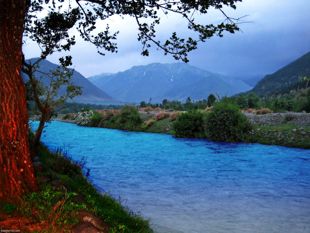
The mountainous landscape of the Kashmir Valley, celebrated globally for its sprawling water bodies and perennial streams, is quietly confronting an invisible crisis. For generations, natural springs have served as the fundamental lifeblood of remote Himalayan communities, feeding households, sustaining livestock, and irrigating agricultural plots where access to deeper valley rivers remains physically constrained. However, a troubling transformation is sweeping through these high-altitude settlements. Across the region, vital springs that once gushed with forceful, uninterrupted currents are experiencing severe flow reductions, leaving local residents to watch helplessly as historic water sources dwindle into seasonal trickles or dry up entirely.
This localized water security emergency has prompted hydrogeologists and environmental researchers to shift their focus from the visible spring outlets on valley floors to the complex, elevated landscapes far uphill. Through a combination of advanced geographic information systems (GIS), stable isotope analysis, and rigorous field observations, contemporary scientific investigations are beginning to unravel the intricate subterranean pathways that feed the region’s aquifers. As policymakers increasingly turn toward science-driven conservation frameworks, the imperative to protect these crucial high-altitude recharge zones has become clearer than ever.
Voices from the Ground: Memories of Abundance
In the quaint, northern village of Cherwan, nestled within the Ganderbal district of the Kashmir Valley, 40-year-old resident Shafeeqa vividly remembers a vastly different hydrological reality. During her teenage years, the local spring gushed with such overwhelming power and volume that attempting to divert its current toward nearby agricultural fields presented a formidable physical challenge. She recalls an era when the rushing water carried enough momentum to sweep her brother along its current—a stark contrast to the subdued, weakening flow she observes today.

Over the past five to six years, Shafeeqa notes, the spring’s vitality has steadily eroded. What was once an utterly dependable water supply has transformed into a poignant indicator of environmental degradation. "Nature has blessed us with a great source, but it is we who have destroyed it with our own hands," she reflects, pointing toward a growing local consensus that human-induced pressures and shifting weather patterns are taking a severe toll.
Her neighbor, Momin, shares similar observations, highlighting the ecological changes through the lens of local wildlife. Momin recalls a time when villagers successfully introduced fish into the spring, confident that the steady, clean flow could sustain aquatic life year-round. In recent years, however, those fish increasingly perish during the autumn and winter months, when the water output drops drastically. Even during the peak of summer, the spring fails to achieve the robust discharge levels of decades past, threatening both domestic routines and traditional agrarian practices.
Scientific Inquiry: Unraveling the Sindh Basin Dynamics
To move beyond anecdotal observations, researchers at the University of Kashmir have launched comprehensive studies to evaluate the health of subterranean water systems across the region. A landmark 2023 study published in Environment, Development and Sustainability by lead researcher Hilal Ahmad Sheikh and his colleagues investigated spring discharge trends specifically within the Sindh Basin of the Kashmir Himalaya.
The research team analyzed historical spring outputs alongside meteorological records, documenting widespread declines in discharge rates and the complete desiccation of several historically reliable sources. By cross-referencing this data with regional temperature increases, shifts in precipitation schedules, accelerated snowmelt cycles, and expanding infrastructure development, the study established a compelling link between climate variability and groundwater depletion.

Building upon these initial findings, Sheikh spearheaded subsequent research published in 2025 in the Journal of Earth System Science. This advanced investigation utilized a multidisciplinary methodology—combining field surveys, GIS mapping, and stable water isotope analysis—to pinpoint the exact geographical zones responsible for recharging the basin’s subterranean aquifers.
By measuring the naturally occurring stable isotopes of hydrogen and oxygen within the water samples, researchers tracked how isotopic signatures shift relative to elevation and precipitation patterns. This geochemical fingerprinting allowed scientists to trace the subterranean journey of water droplets from high-altitude infiltration zones down to the lowland outlets. The findings identified an elevation band spanning approximately 1,750 to 2,875 meters (5,741 to 9,432 feet) above sea level as the primary recharge engine for the majority of the region’s springs.
The Science of Subterranean Pathways
Understanding the mechanics of a spring requires looking far beyond the immediate point where water emerges from the earth. Hydrogeologically speaking, a spring is merely the surface expression of a vast underground plumbing network. Precipitation in the form of rain and snowfall blankets elevated mountain slopes, where it gradually infiltrates through porous soils, dense vegetation layers, and permeable bedrock fractures. This stored groundwater then travels downward along hydraulic gradients over weeks, months, or even years before surfacing at lower altitudes.
Because this journey is largely hidden from view, surface-level interventions—such as constructing concrete basins around a spring outlet or installing storage tanks—fail to address the root causes of flow reduction. As Hilal Ahmad Sheikh emphasizes, "When you stand at a spring, you see groundwater emerging, but you cannot see where it comes from. Improving a spring outlet or installing a storage tank will not restore its flow if the groundwater feeding it continues to decline."

Independent experts emphasize that local geological settings heavily dictate how individual springs behave. Suhail Ahmad Lone, an assistant professor and hydrogeologist at the University of Kashmir who was not directly involved in the recent studies, notes that groundwater systems in the Kashmir Valley vary significantly. Springs associated with alluvial sediments, ancient karewa deposits, karst limestone formations, and hard-rock terrains respond differently to external stresses.
"If you have the data of a spring from the last two or three years, the first thing you would try to do is study its fluctuations," Lone explains, advocating for rigorous, long-term observational monitoring rather than relying solely on predictive computer models. He cautions against prematurely attributing all hydrological changes exclusively to climate change or direct anthropogenic interference without first analyzing baseline geological and meteorological data.
Human Footprints and Changing Climates
While climatic shifts—particularly the noticeable reduction in low-altitude snowfall over the past half-decade—have profoundly altered groundwater recharge rates, local human activities also exert immense pressure on fragile mountain environments. Expanding human settlements, unmitigated road construction, and large-scale excavations in the upper catchments frequently disrupt shallow underground water pathways.
In one notable example from the Kashmir Valley, Lone highlights how commercial excavation reaching depths of approximately 10 meters (33 feet) in alluvial sediments altered the local hydraulic gradient, effectively cutting off the subsurface water supply to nearby shallow springs. Such engineering and development projects often generate unintended consequences, altering subsurface hydrology long before the environmental impacts become visible at the surface.

Road building and forest degradation compact soils and accelerate surface runoff, preventing rainwater and melting snow from naturally infiltrating the ground. Without targeted management strategies, these cumulative disturbances threaten to permanently sever the delicate connection between high-altitude recharge zones and lowland water outlets.
Institutional Shifts Toward Watershed Rejuvenation
Recognizing the urgency of these scientific findings, regional authorities and academic institutions are beginning to bridge the gap between research and policy implementation. A significant milestone was reached in July, when the Jammu and Kashmir Integrated Watershed Management Programme (IWMP) signed a formal memorandum of understanding with the University of Kashmir.
Under this cooperative framework, experts are tasked with drafting detailed project reports aimed at comprehensive springshed rejuvenation. The initiative integrates advanced hydrogeological assessments, precise recharge-zone mapping, and targeted conservation interventions to safeguard critical water sources under the Pradhan Mantri Krishi Sinchayee Yojana (PMKSY) framework.
Hydrogeologists argue that effective restoration requires a fundamental shift in perspective. Instead of pouring capital into cosmetic surface upgrades, investments must be directed uphill. Recommended restorative measures include large-scale vegetation restoration to stabilize soils, the construction of check dams to slow down torrential runoff, and the strategic implementation of rainwater-harvesting structures designed to enhance soil permeability and groundwater infiltration.

Implications for the Future of Water Security
As climate change continues to alter seasonal weather patterns across the Himalayas, the vulnerability of mountain water resources will remain a central challenge for local governance and community survival. The pioneering research conducted in the Sindh Basin offers a vital roadmap, proving that sustainable water management must encompass entire landscapes rather than isolated discharge points.
For rural communities in Ganderbal and beyond, the stakes could not be higher. The ongoing scientific push to map and protect recharge zones represents more than an academic exercise—it is a critical race to preserve the natural lifelines of the region. As Hilal Ahmad Sheikh and his peers continue to advocate for landscape-level conservation, Suhail Lone’s straightforward advice to policymakers captures the essence of the path forward: when seeking to restore a dying spring, the solution lies not at the outlet, but far uphill.