
The convergence of two landmark scientific studies has fundamentally altered the global understanding of coastal vulnerability, revealing that both the height of the world’s oceans and the rate at which coastal land is sinking have been systematically underestimated for decades. For years, flood-risk forecasts relied upon by international governments and financial institutions have utilized crude global modeling that fails to account for the complex, real-world dynamics of ocean currents, wind patterns, and localized land subsidence. New data now suggests that the baseline for future sea-level rise is significantly higher than previously thought, while the ground beneath many of the world’s most populous megacities is disappearing at a rate that far outpaces the rising tides. Together, these findings indicate that tens of millions of people are currently living in high-risk zones that were previously categorized as safe, moving the timeline for catastrophic inundation forward by several decades.
The Methodological Blind Spot in Sea-Level Projections
The first major breakthrough comes from a comprehensive analysis conducted by Katharina Seeger and Philip Minderhoud, geographers at Wageningen University & Research in the Netherlands. Their study, which examined 385 separate coastal locations using actual tidal gauge data rather than mathematical simulations, found that nearly the entire body of existing scientific literature has miscalculated current sea levels. According to their findings, the world’s oceans are, on average, nearly one foot higher than standard estimates suggest.
The discrepancy stems from a reliance on the "geoid" model—a mathematical representation of the Earth’s shape based on its rotation and gravitational fields. While the geoid provides a useful approximation for global calculations, it assumes a calm, uniform ocean state. In reality, ocean dynamics such as heat-induced expansion, powerful currents, and prevailing winds that pile water against coastlines create significant local variations. In many of the cases analyzed by the Dutch team, previously accepted sea levels were off by three feet or more, almost always on the side of underestimation.
This "methodological blind spot" has remained largely undetected because geoid-based models are most accurate in Europe and along the Eastern Seaboard of North America, regions where the majority of climate research has historically been funded and conducted. However, in the Global South—where ocean dynamics are often more intense—the errors are most pronounced. For example, tides along the coasts of Southeast Asia are frequently three feet higher than what geoid modeling predicts. The study concludes that approximately 80 million people are currently living on land that sits below sea level, nearly double the previous estimates.
The Sinking Delta Crisis: A Multiplier of Risk
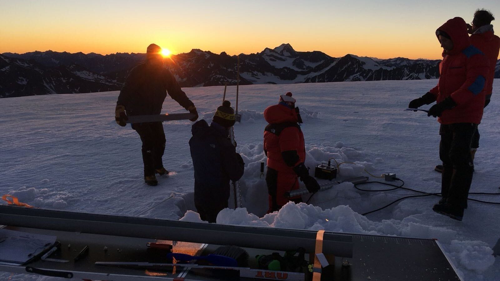
While the Dutch study recalibrates the water’s height, a second study focused on the world’s river deltas has revealed that the land itself is failing. Leonard Ohenhen, an Earth system scientist at the University of California, Irvine, utilized satellite-mounted radar to produce high-resolution 3D maps of subsidence across 40 of the world’s largest and most populous deltas. His research found that more than half of these deltas are sinking, with 18 of them subsiding at rates that exceed the rate of sea-level rise. In the most extreme cases, the land is sinking ten times faster than the ocean is rising.
This phenomenon, known as relative sea-level rise, creates a "double whammy" for coastal communities. While the global community focuses on the millimeters of rise caused by melting ice caps and thermal expansion, localized subsidence is often measured in centimeters or even inches per year. The causes of this subsidence are primarily anthropogenic. The extraction of groundwater to meet the needs of growing urban populations, industry, and agriculture causes the subsurface to compact, leading to a visible drop in surface elevation.
Furthermore, the construction of dams and levees on major river systems has choked off the supply of sediment that naturally replenishes deltas. Historically, seasonal flooding would deposit layers of silt and clay, maintaining the delta’s height against the sea. Today, these sediments are trapped behind hydroelectric dams or funneled directly into the deep ocean by artificial levees, leaving the deltas to erode and sink.
Regional Impacts and Human Displacement
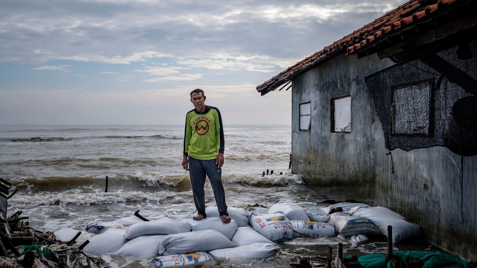
The implications of these findings are most dire for the megacities of Asia and the agricultural heartlands of Africa. In Indonesia, the city of Jakarta has become the global poster child for land subsidence. Parts of the city have sunk by as much as 13 feet since 1970, a reality that forced the Indonesian government to announce the relocation of its capital to a new site in Borneo, known as Nusantara. However, Jakarta is not an isolated incident. The Javanese city of Semarang is currently subsiding at a rate 20 to 50 times faster than the local sea-level rise, leading to frequent and devastating floods that have begun to permanently submerge entire neighborhoods.

In Vietnam, the Mekong Delta—one of the world’s most productive rice-growing regions—is facing an existential threat. Philip Minderhoud’s earlier research in the region found that local water levels were already much higher than scientific literature suggested, placing the delta on the brink of inundation far sooner than the 50-to-100-year window previously projected. Similarly, the Nile Delta in Egypt, which supports two-thirds of the nation’s agriculture, is being attacked from both sides: it is starved of sediment by the Aswan High Dam and hollowed out by groundwater pumping. The result is a coastline retreat of over 300 feet per year in some areas, with saltwater intrusion poisoning vital aquifers and farmland.
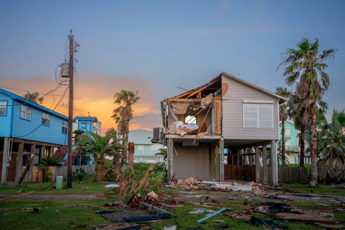
In China, the Yellow River Delta is subsiding up to 10 times faster than the projected rise of the Yellow Sea. The loss of sediment due to more than 20 large dams upstream has left the region vulnerable to even minor increases in sea level. Meanwhile, in the United States, the Mississippi Delta has lost nearly 1,900 square miles of land over the past century, continuing to sink by an average of two inches annually. This subsidence significantly increases the destructive potential of storm surges during hurricanes, as the natural buffer of coastal marshes disappears.
Chronology of Climate Miscalculation
The realization that coastal threats have been underestimated follows a decades-long evolution in climate monitoring:
- 1900–1990: Global sea-level rise was primarily measured using a sparse network of tide gauges, mostly located in Northern Hemisphere ports.
- 1993–Present: The advent of satellite altimetry (such as the TOPEX/Poseidon and Jason missions) allowed for the first truly global measurements of sea-surface height, though these often relied on geoid models for local calibration.
- 2000s: Research began to highlight "hotspots" of subsidence in cities like Tokyo and Bangkok, but these were often viewed as isolated local issues rather than a systemic global trend.
- 2014–2021: The IPCC’s Fifth and Sixth Assessment Reports began incorporating more data on ice sheet melt but continued to rely heavily on geoid-based models for regional projections.
- 2024–2025: The publication of the Wageningen and UC Irvine studies marks a paradigm shift, proving that both the baseline water level and the rate of land sinking were critically mismanaged in previous models.
Official Responses and the Need for Urgent Policy Shifts
The scientific community’s reaction to these studies has been one of profound concern. Matt Palmer, a sea-level specialist at the U.K. Met Office, noted that the impacts of climate change on coastal regions have been "systematically underestimated," warning that the Global South will face devastating consequences much earlier than anticipated. Oceanographer Franck Ghomsi of the University of Cape Town emphasized that the two studies together "rewrite the story of coastal vulnerability," painting a picture that is far more concerning than any single study could convey.
For international bodies like the World Bank and the Intergovernmental Panel on Climate Change (IPCC), these findings necessitate a rapid reassessment of funding and adaptation strategies. Current infrastructure projects—such as sea walls and drainage systems—are often designed based on the faulty geoid-based forecasts. If the baseline sea level is already a foot higher than those designs account for, these multi-billion-dollar investments may be obsolete before they are even completed.
Broader Implications and Potential Solutions
Despite the grim outlook, the recognition of land subsidence as a primary driver of flooding offers a glimmer of hope. While global sea-level rise is tied to atmospheric CO2 concentrations and requires decades of international cooperation to slow, land subsidence can be addressed through local policy.
Tokyo provides a successful historical precedent. Between 1920 and 1960, parts of the city sank by 15 feet due to excessive groundwater extraction. In response, the municipal government enacted strict bans on groundwater pumping, and land levels have remained stable for over half a century. Similar measures are being attempted in Bangkok and Shanghai, though the scale of the challenge grows as urban populations swell.
In addition to regulating water use, experts suggest that restoring natural sediment flows is essential. This could involve "sediment bypassing" at dams or the strategic removal of levees to allow rivers to deposit silt in sinking basins. In the Mississippi Delta, the U.S. Army Corps of Engineers has already begun projects to divert sediment-rich water into dying marshes to rebuild land.
Ultimately, the new data serves as a clarion call for a more localized and data-driven approach to climate adaptation. The era of relying on generalized global models to protect specific coastal communities is over. As Jonathan Bamber, a glaciologist at the University of Bristol, observed, the discrepancy found in current sea levels exceeds the total global rise recorded since the start of the 20th century. With 132 million additional people now recognized as being at risk of inundation—an area the size of the United Kingdom—the margin for error has vanished. Governments must now decide whether to invest in aggressive local mitigation or prepare for a scale of human migration that will redefine the 21st century.


Leave a Reply