
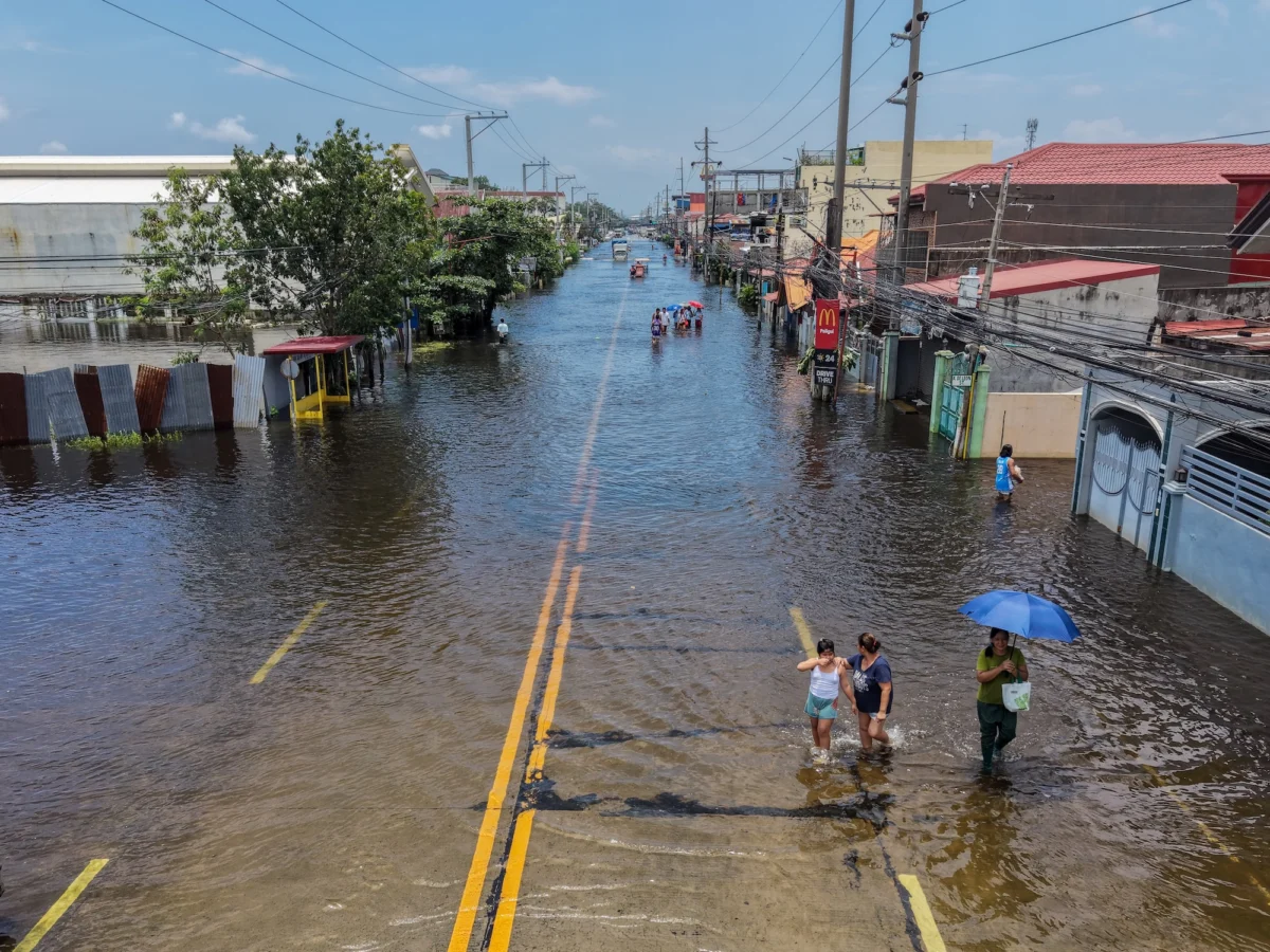
The global scientific community and civil authorities are mobilizing in response to what meteorological data confirms is the strongest El Niño event in recorded history. Surpassing historical benchmarks established during the severe events of 1997 and 2015, the current Pacific Ocean warming cycle has shattered previous temperature records, prompting widespread emergency declarations, international travel warnings, and acute concern among climate researchers. With sea surface temperatures in the equatorial Pacific exceeding normal baselines by more than 3 degrees Celsius, this phenomenon—colloquially designated as a "super El Niño"—is combining with ongoing anthropogenic global warming to propel planetary temperatures into uncharted territory.
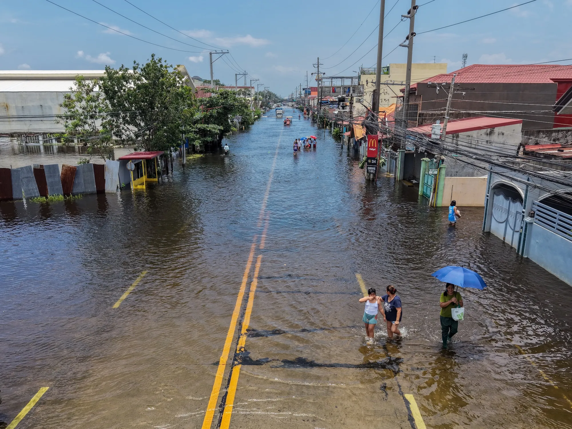
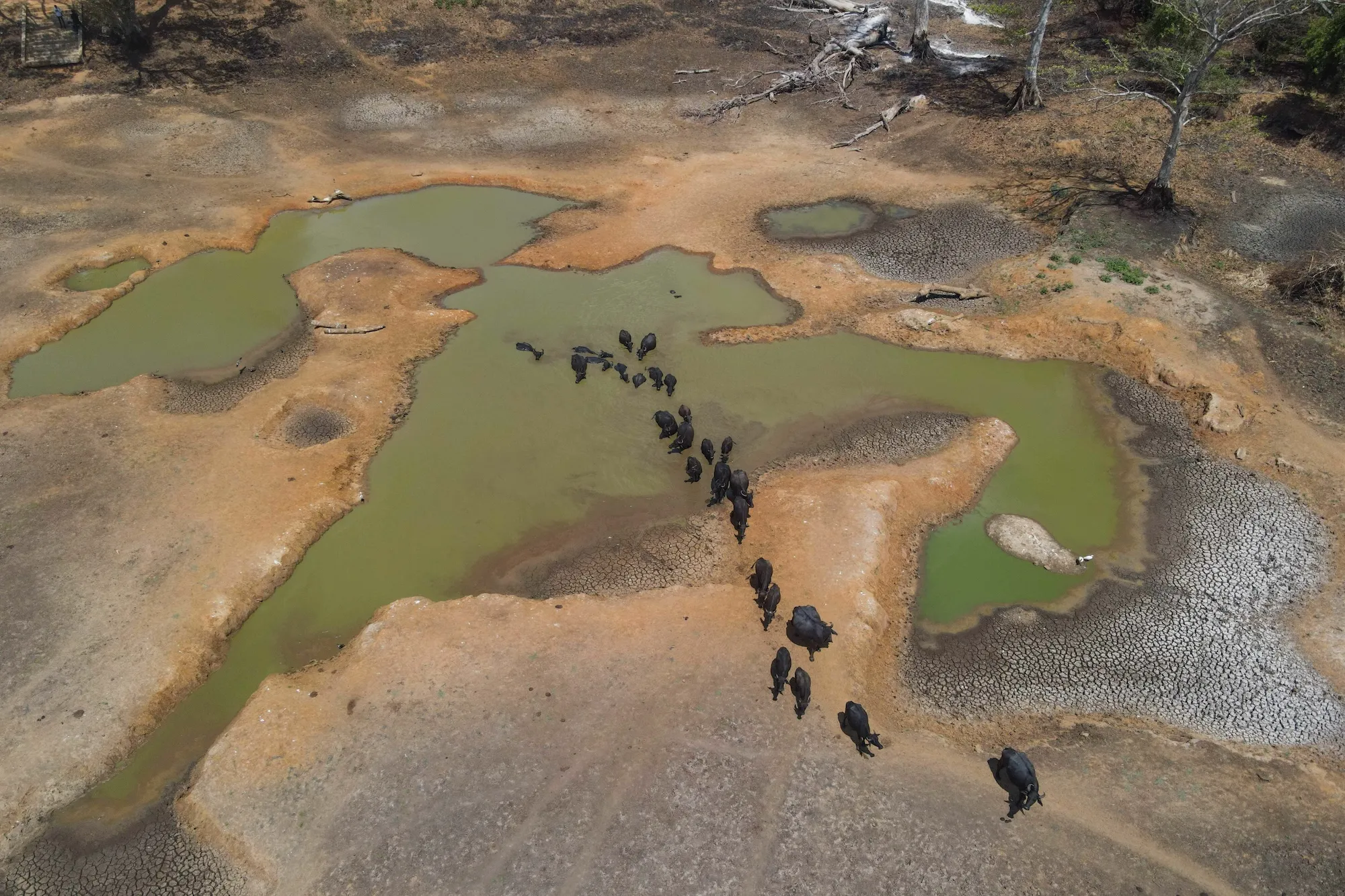
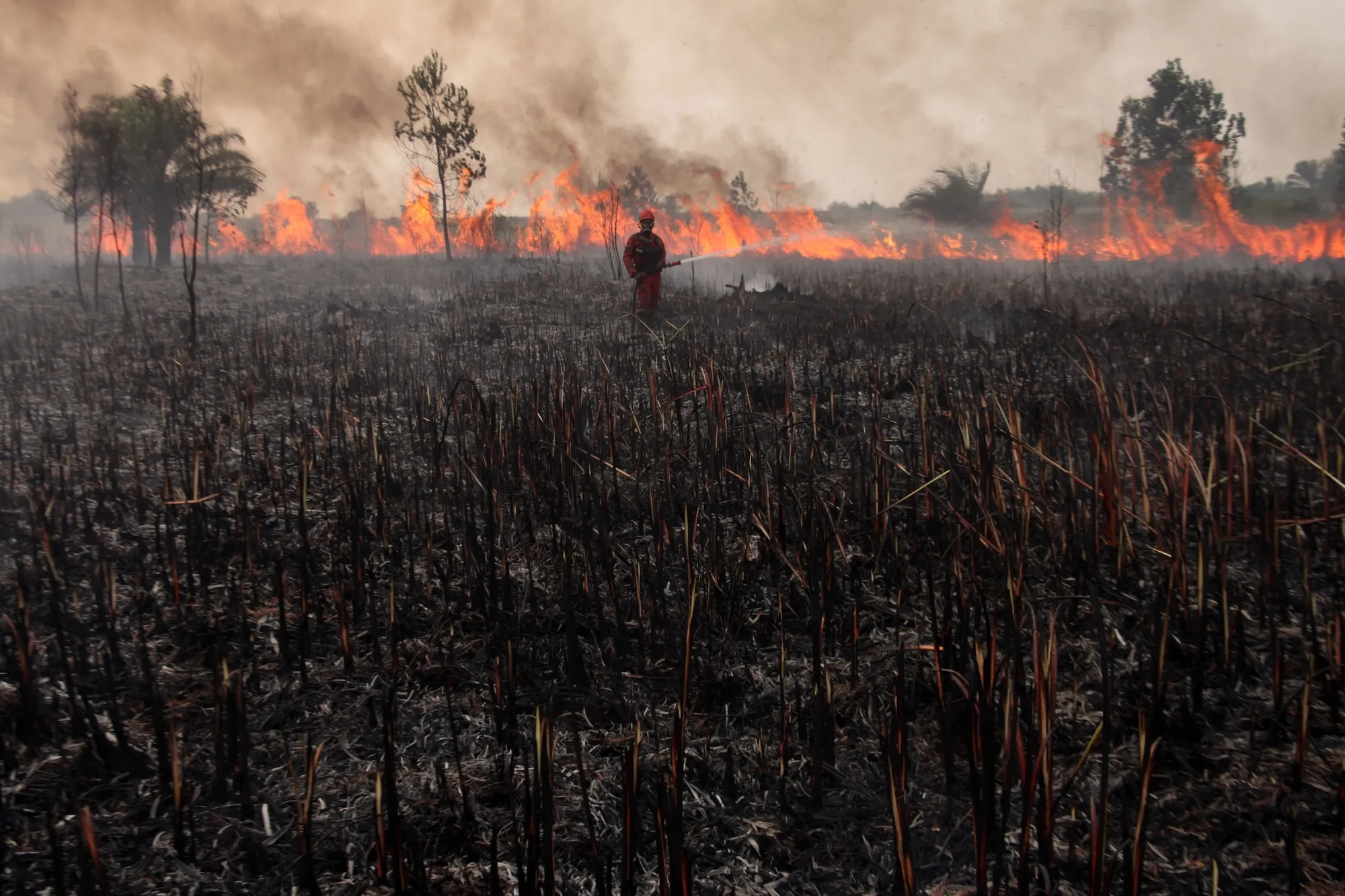
The immediate consequences of this climatic shift are already materializing across multiple continents. In the United States, the state of California has formally enacted a statewide state of emergency to accelerate disaster mitigation, bolster infrastructure against catastrophic flooding and coastal erosion, and secure vital resources ahead of expected winter storms. Simultaneously, agricultural belts in Central America, Southeast Asia, and southern Africa are grappling with severe, prolonged droughts that threaten staple crop yields, while regions in South America and parts of Asia face unprecedented monsoon rainfall and destructive flooding. Epidemiological projections released ahead of the winter months suggest that the compounding effects of extreme heat and disrupted weather patterns could correlate with hundreds of thousands of heat-related vulnerabilities globally, making comprehensive international preparation an urgent priority.
Understanding the Mechanics of El Niño
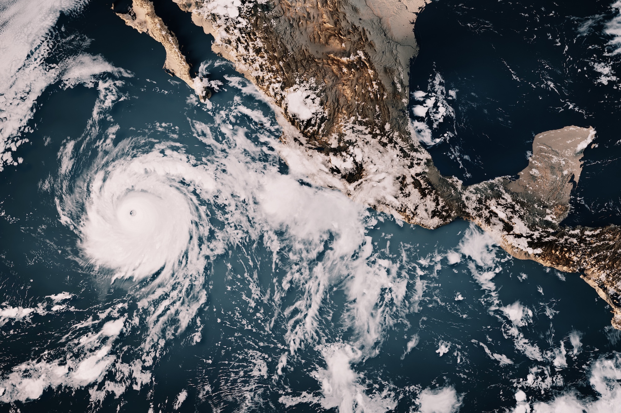
To comprehend the severity of the current crisis, it is necessary to examine the fundamental mechanics of the El Niño-Southern Oscillation (ENSO) cycle. ENSO is a naturally occurring climate pattern characterized by fluctuations in sea surface temperatures and winds across the equatorial Pacific Ocean. Under normal conditions, trade winds blow predominantly from east to west across the Pacific, pushing warm surface water toward Indonesia and Southeast Asia while drawing cooler, nutrient-rich deep water upward along the coast of South America through a process known as upwelling.
During an El Niño phase, these eastern trade winds weaken significantly and can occasionally reverse direction. This atmospheric shift allows the vast pool of warm water accumulated in the western Pacific to slosh back eastward toward the Americas. The displacement of massive amounts of thermal energy alters the jet stream, deflecting storm tracks and fundamentally disrupting global precipitation and temperature averages. While El Niño events occur naturally on an irregular cycle every two to seven years, climatological research increasingly indicates that a warming global baseline is intensifying the frequency and severity of these oscillations.
The Convergence of Natural Cycles and Anthropogenic Warming
The primary challenge facing climatologists in evaluating the current event is untangling the distinct contributions of the natural El Niño cycle versus long-term global warming driven by fossil fuel emissions. El Niño events are historically associated with temporary spikes in global mean surface temperatures. When a maximum-intensity El Niño occurs against a background of rapidly rising atmospheric greenhouse gas concentrations, the resulting thermal accumulation is unprecedented.
Data compiled by international climate monitoring organizations indicates that the combined effect of this super El Niño and persistent climate change could make the current year the hottest on record, with forecasts suggesting that the subsequent year may prove even more extreme. Some high-end climate models suggest that the thermal anomalies observed during this event provide a stark preview of the baseline global temperatures expected by the year 2040. This acceleration of planetary warming compresses decades of anticipated climate adaptation challenges into an immediate, compressed timeframe, leaving regional infrastructure with minimal lead time to adapt.
Defining the "Super" Benchmark: Data and Metrics
The terminology used to describe El Niño events is rooted in specific quantitative thresholds established by meteorological institutions such as the National Oceanic and Atmospheric Administration (NOAA). The primary diagnostic tool utilized is the Niño 3.4 anomaly index, which measures sea surface temperature deviations within a designated rectangular region of the central equatorial Pacific.
Under standard NOAA classifications, an El Niño is declared when temperatures in the Niño 3.4 region rise 0.5 degrees Celsius above the historical average. Anomalies reaching 1 degree Celsius are classified as moderate, 1.5 degrees as strong, and 2 degrees as very strong. Historically, very strong events were rare exceptions. However, recent oceanographic analyses published by research groups such as Carbon Brief reveal that warming in the Niño 3.4 region has reached an astonishing 3.11 degrees Celsius.
This figure eclipses the previous peak set in November 2015 during the last major El Niño event, confirming the unprecedented nature of the current cycle. While typical El Niño events reach their maximum intensity between December and January, observational models indicate a 90 percent probability that these extreme temperature anomalies will persist at exceptional levels through the conclusion of the calendar year. Researchers who initially expressed skepticism regarding early, high-end forecast models have increasingly conceded that the observational data points definitively toward a generationally distinct climatic event.
Evolution of Scientific Terminology and Public Communication
The widespread adoption of the term "super El Niño" has sparked discussions among linguists and climatologists regarding how extreme weather events are communicated to the public. Etymological research reveals that the phrase originated within academic literature in a 2003 meteorology paper examining the transition dynamics between El Niño and its cooler counterpart, La Niña. Initially popularized in English-language media, the term has since been translated and integrated into public discourse across Europe, Latin America, and Asia.
Ecolinguistics experts note that communicating existential environmental risks presents a persistent challenge. Language must accurately convey the magnitude of a hazard without provoking public desensitization or fatalism. As global weather anomalies become more extreme, researchers and journalists frequently lean toward intensified descriptors to capture public attention. However, as climatologists point out, when extreme events routinely surpass historical parameters, even terms like "super" may prove inadequate, necessitating a continuous evolution of the lexicon used to describe systemic climate risks.
Socioeconomic and Infrastructural Implications
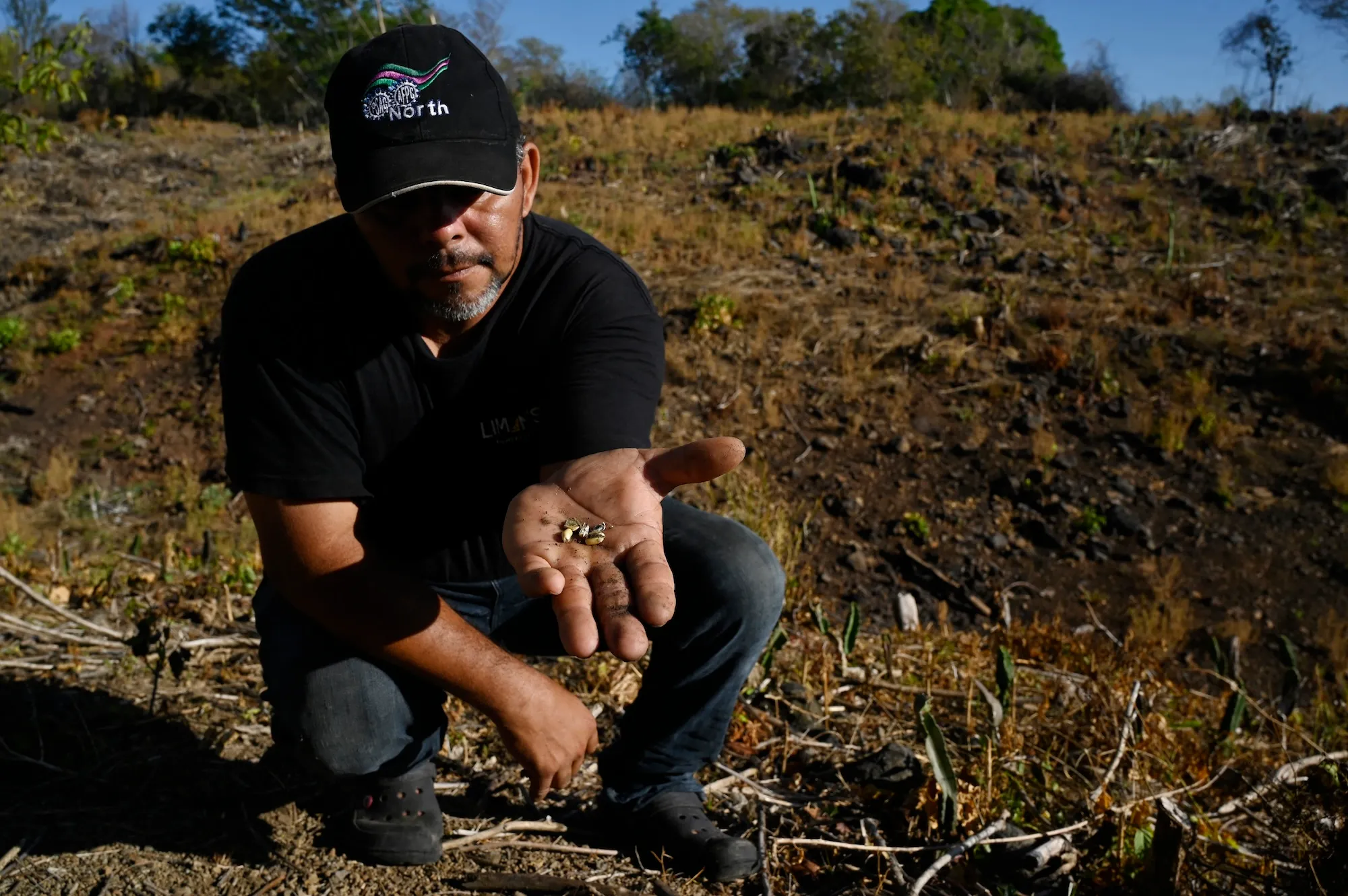
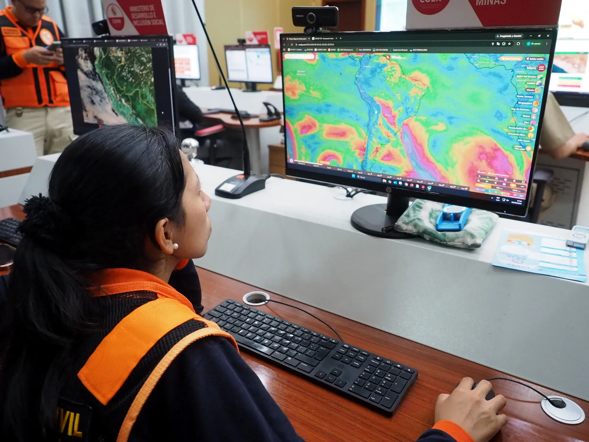
Beyond immediate meteorological records, the 2026 super El Niño poses profound risks to global supply chains, food security, and public health infrastructure. In Central America, extended dry spells have devastated maize and bean harvests, leaving farming communities facing severe economic hardship. In South America, authorities in Peru and surrounding nations have conducted large-scale multi-hazard drills, reinforcing coastal defenses and monitoring wind patterns to mitigate the impacts of anticipated torrential rains.
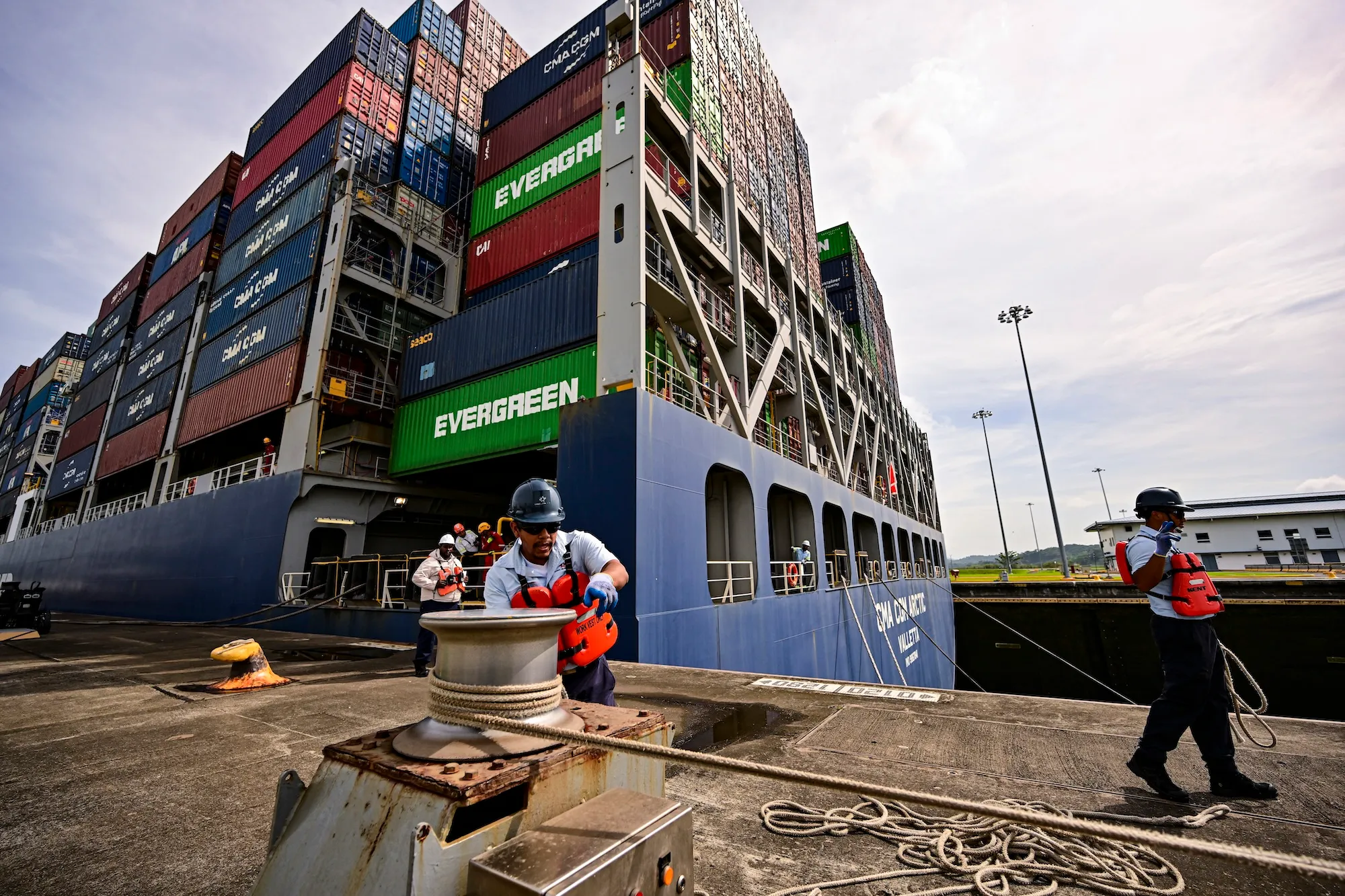
In Central and North America, structural adjustments are already underway. The Panama Canal authority has implemented strict transit drafts and reduced daily vessel passage limits due to low water levels in Gatun Lake, a direct consequence of shifting regional precipitation patterns. These logistical bottlenecks threaten international maritime trade, driving up transportation costs and influencing global commodity prices.
Furthermore, coastal infrastructure in regions such as Southern California faces compounded threats from elevated sea levels, intensified storm surges, and accelerated coastal erosion. Recent storms have already compromised residential properties and municipal infrastructure, validating the pre-emptive emergency declarations issued by regional governments.
Looking Ahead: Preparing for a Transformed Climate Future
As the international community confronts the realities of the 2026 super El Niño, the event serves as both an immediate crisis management test and a long-term harbinger of future climatic conditions. Whether the phenomenon is evaluated through the lens of agriculture, hydrology, or public health, the imperative to build resilient infrastructure has never been more urgent.
The convergence of record-breaking oceanic temperatures and unabated greenhouse gas emissions underscores the necessity for proactive global adaptation strategies. As climatologists and emergency management agencies continue to monitor the progression of the Niño 3.4 anomaly through the winter peak, the lessons learned from this generational event will undoubtedly shape international policy, disaster response frameworks, and climate preparedness for decades to come.








Leave a Reply